Way back in the dark ages that was 2009 I bought myself a Satmap Active 10 to use on my LEJOG walk. After 10 years of use, and many many miles walked, it pretty much gave up the ghost (buttons falling off etc.) at the beginning of the year. Very sad.
I’d been looking at the newer Satmap Active 20 for a while but could never justify spending the money on one while the trusty old Active 10 was still doing a job. With it now on its last legs Shelli suggested I get one for my Birthday (between us both), so I did.
We’d taken the new wizz-bang GPS out a couple of times on short walks just to give it a test drive and to make sure it was actually working okay, but it hadn’t been used for a long walk yet. With the weather looking good for the weekend, and Shelli having a training call to do, I decided to take myself out for a nice long stroll. No dog. No kids. Just me and my camera.
I plotted the route using Satmaps Xpedition2 online route planner, and using the updated functionality of the Active 20 – it’s WIFI enabled and can be directly connected to my Xpedition2 account – I was able to import the route directly without having to download it to my iMac, connect the GPS, copy it over etc. etc. Much much easier!
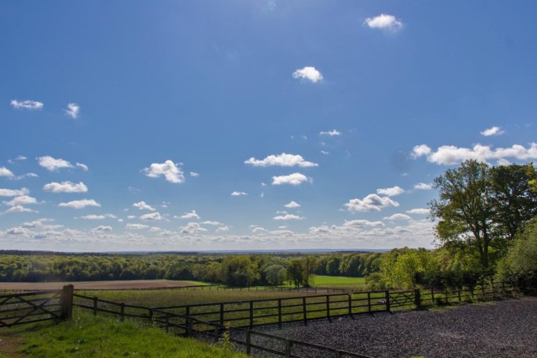
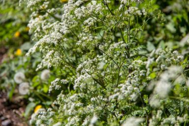
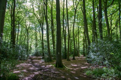
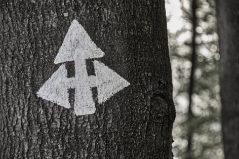
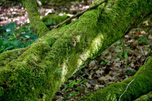
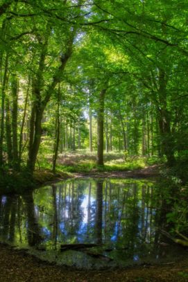
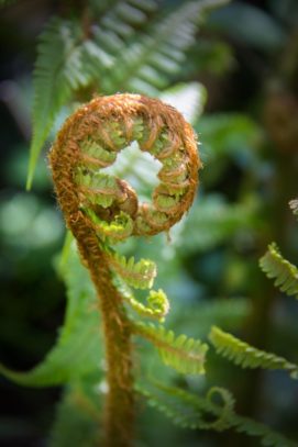
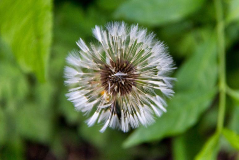
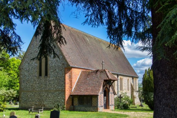
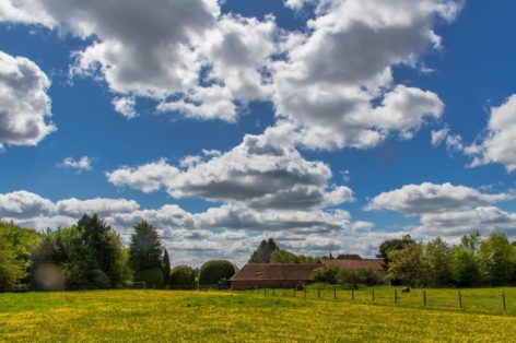
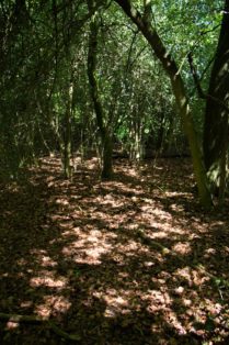
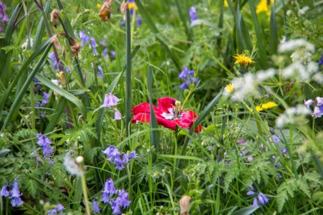
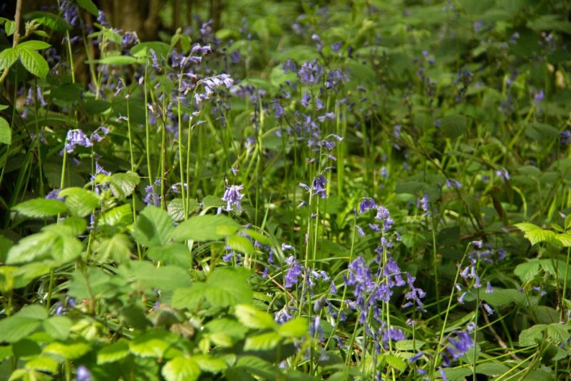
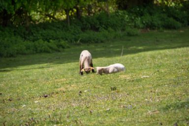
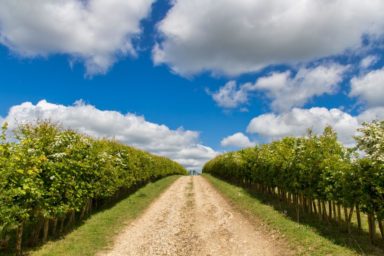
Bag packed, I headed out the door and thoroughly enjoyed a peaceful 3 hours and 20 minutes taking in the wonderful South Oxfordshire countryside, taking lots of photos along the way.
We’ve been out pretty much every day with Snow since the lockdown started, taking in the local woods, mixing up the routes most days. Most of these walks are a couple of miles, which have been great to forget about work at the end of the day, but I’d missed the longer walks which I’d purposefully not gone on because of the “rules” around the lockdown.
7 weeks in though, and all of us having been pretty careful about the whole social distancing thing, I didn’t think it would be a problem being out on my own for a few hours, especially when you consider how many people on their bikes I passed, especially on the path up from Mapledurham – they were all cycling down hill!
Photos
Route Details
If you’re interested you can download the GPX file of the plotted route. Please be aware though that the route was hand-plotted and so may not be 100% accurate.
Walk Statistics
| Miles | Start (HH:MM) | Finish (HH:MM) | Breaks (HH:MM) | Walking (HH:MM) | Pace (MPH) |
|---|---|---|---|---|---|
| 11.10 | 10:09 | 13:29 | 00:00 | 03:20 | 3.31 |
Route Map
Elevation Details
| Start Elavation (m) | End Elavation (m) | Max Elevation (m) | Min Elevation (m) | Total Climb (m) | Total Descent (m) |
|---|---|---|---|---|---|
| 170 | 169 | 196 | 46 | 497 | -498 |


